Ozone Mapping and Profiler Suite (OMPS)

satellite

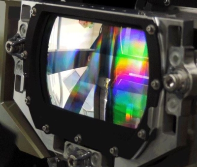
The Ozone Mapping and Profiler Suite (OMPS) aboard the joint NASA/NOAA Suomi National Polar-orbiting Partnership (Suomi NPP) satellite tracks the health of Earth's ozone layer and measures the concentration of atmospheric ozone. OMPS consists of three spectrometers: a downward-looking nadir mapper, a nadir profiler, and a limb profiler. OMPS collects total column and vertical profile ozone data and continues the daily global data produced by current ozone monitoring systems—the Solar Backscatter Ultraviolet Radiometer (SBUV/2) and Total Ozone Mapping Spectrometer (TOMS)—but with higher fidelity and larger swaths. A second OMPS will fly aboard the NASA/NOAA Joint Polar Satellite System-2 (JPSS-2) satellite that is scheduled for launch in 2022. 

OMPS

You Might Also Be Interested In

Filter By

Content type
Canadian Wildfire Smoke over the Atlantic Ocean on 27 September 2023 from the VIIRS and OMPS instruments aboard the joint NASA/NOAA Suomi NPP satellite
Worldview Image of the Week
High Aerosol Index from Fires in Canada on 4 September 2023 from the VIIRS and OMPS instruments aboard the joint NASA/NOAA Suomi NPP satellite
Worldview Image of the Week
Dr. David Peterson, Naval Research Laboratory meteorologist poses with a globe showing wavy patterns of satellite data. Peterson is in a white, button-down shirt and sitting in the lobby of a large office building. A staircase with a white railing can be seen in the background.
Data Chat
air quality
Data Pathfinder